A series of collaborative projects between Make+Think+Code@PNCA, Intel, and the Sandy River Basin Watershed Council
Sensing the Environment: A Citizen Science/Connected Learning project
A citizen science/collaborative research/education project between Make+Think+Code@PNCA, Intel Labs, and various community/industry groups to use science, technology, data, art, and design to better understand our ecosystems, and the habitats and behaviors of birds and other life that share our environment. We focus on the urban environment as well as the various watersheds and wildlife corridors surrounding the Portland Metropolitan Area.
A joint endeavour between students, artists and designers, researchers, data scientists, technologists, environmental/conservation groups, and educators.
The Goal(s):
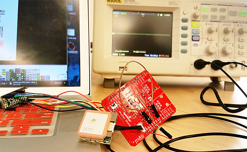
Design, build sensor kits to gather environmental data; Create an open-source database that stores and categorizes data as a resource for research scientists, environmental/conservation/civic/ government organisations and for educators; use techniques of data science (including deep learning) to analyse and interpret the data; discover and tell the stories about these species and spaces by creating a variety of visualisations, maps, and immersive interactive experiences. Develop curricular modules for k-12.
The First Project: Acoustic monitoring
Detect, track, and identify birds and bats through sound. We currently have very little data for the region and new technology allows us to create an affordable (wireless), self-sustaining device that can detect, record, and store/transmit birdcalls.
The Second Project: Monitoring Air Quality
Gather environmental data (air quality, weather) and transmit to a corresponding app.
Next Steps:
Hackathon to design sensor kits, July 14th - July 21st, 2017
Design, troubleshoot, and prototype kits. August 9th, August 12th, 2017
Strategy/brainstorming sessions for the data and design, September 24th, 2017, 10AM - 5PM
Final design/engineering session for sensors. January, 22nd, 2018, 3PM - 7PM
Data focus and sensor placement session. February 19th, 2018, 3PM - 7PM
Data analysis, visualization, and schematic documentation session. March 12th, 2018, 3PM - 7PM
Data storytelling, visualization, educations session. April 9th, 2018, 3PM - 7PM
Build sessions for the kits.
Offer workshops that prepare interested collaborators in data science and machine learning/AI; in mapping and GIS; in microcontrollers; and in creating immersive and interactive experiences including mixed reality, apps, mapping, and installations; analyze data; visualize our insights and the ecological and cultural history of this ecosystem. In the spring facilitate a week-long curriculum hackathon to design assignments, projects, and modules with middle and high school educators. Hold hackathons and design/build in the spring to complete the data analysis and visualizations/stories.
Look for the wonderful presentations, stories, and installations on Earth Day and International Migratory Bird Day 2018.
